King Tides return to Oregon Coast November 2026. Here’s what to know before you go
King Tides return to the Oregon Coast Nov. 23–27, bringing unusually high water to beaches, bays, and coastal…
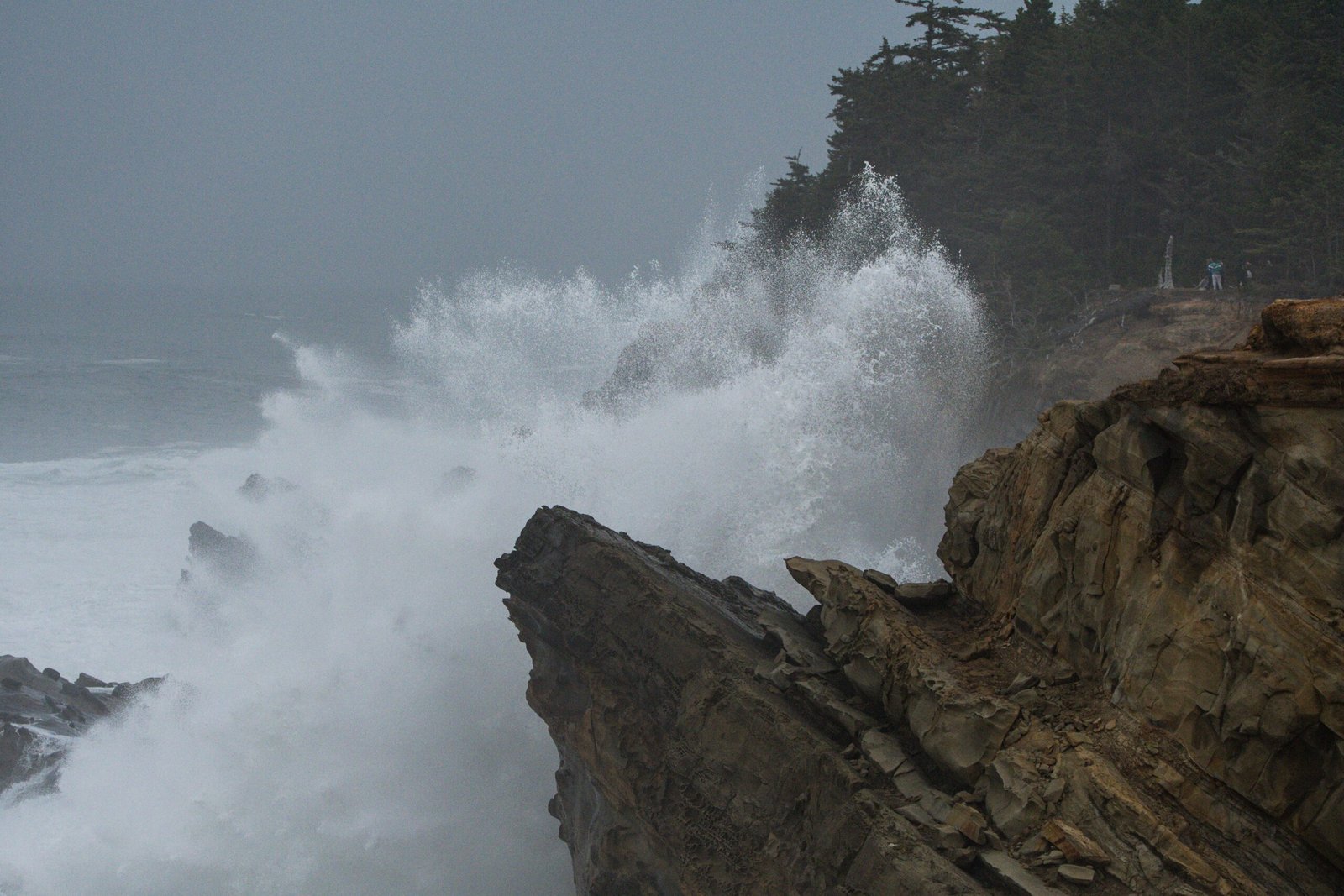
King Tides return to the Oregon Coast Nov. 23–27, bringing unusually high water to beaches, bays, and coastal communities during Thanksgiving week.
The tides offer a chance to see how far the ocean can reach and help document places vulnerable to flooding. For visitors, they also require some planning, particularly when high water coincides with winter storms.
Before heading out, check the tide time for your destination, review the forecast, and choose an established viewpoint above the shoreline.
When are Oregon’s King Tides this winter?
According to Oregon Shores, the Oregon King Tides Project has identified three observation periods for the 2026–27 season:
- Nov. 23–27, 2026
- Dec. 22–26, 2026
- Jan. 20–24, 2027
The November dates run from Monday through Friday and include Thanksgiving on Nov. 26.
High tide times vary along the coast.
Check NOAA’s tide predictions for your destination and travel dates, and make sure the times are local. Save a copy before you go in case you lose cell service.
What makes King Tides different from an ordinary high tide?
King tides are exceptionally high tides associated with the gravitational influence of the moon and sun. They can cover stretches of beach that are normally exposed and push water farther into bays and estuaries.
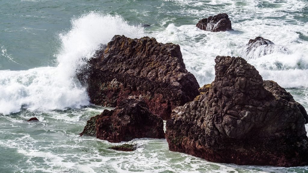
Large waves are possible, but a King Tide date does not guarantee dramatic surf. The Oregon Coast Visitors Association explains that some events appear as water spreading much farther across the shore rather than towering waves.
The association suggests watching around the tidal peak, including roughly 30 minutes before and after. Choose your viewpoint before then so you can observe the rising water without searching for access as the tide comes in.
Storms can add to the danger. High winds, waves, and storm surge can raise water levels and increase flooding, according to the Oregon Coastal Management Program.
Where can you watch along the Oregon Coast?
Look for established viewpoints above the water, with a clear return route and room to stay back from cliff edges. Three places to consider when conditions and access allow are:
Cape Meares
Near Tillamook, Cape Meares State Scenic Viewpoint has ocean viewpoints along the paved, 0.2-mile path between the main parking area and the lighthouse. The lighthouse closes for winter, but the grounds remain open. A day-use parking permit is required.
Yaquina Head
At Yaquina Head Outstanding Natural Area near Newport, maintained paths and observation areas provide views of the rocky coast. Keep your visit on the upper paths rather than descending to Cobble Beach during high water.
The Bureau of Land Management lists site hours of 8 a.m. to sunset and a $7 passenger-vehicle pass valid for three days. Its visitor information also lists Thanksgiving and Christmas holiday closures, so confirm access before planning a holiday visit. The site phone number is 541-574-3100.
Shore Acres
Near Coos Bay, Shore Acres State Park has an enclosed observation building above the rocky shoreline. Regular hours are 8 a.m. to dusk, and daily parking is $10. Pets must remain in vehicles, with an exception for service animals.
Shore Acres’ Holiday Lights begins Nov. 26, overlapping the November tide dates. The evening event runs from 4:30 to 9 p.m. and requires a separate timed parking reservation purchased before arrival. If you plan to attend, review the event instructions rather than assuming daytime parking covers the lights.
None of these locations should be treated as safe in every condition. Follow closures, remain behind barriers, and leave if wind or water makes the viewpoint or its access unsafe.
How should you prepare for a visit?
Check conditions before leaving and again when you arrive:
- Tide times: Use NOAA’s prediction for your specific destination.
- Weather: Check the National Weather Service for high surf, sneaker wave, wind, and coastal flood alerts.
- Access: Review the park’s notices, hours, and parking requirements.
- Roads: Check TripCheck for closures and travel conditions.
Bring warm layers, a waterproof jacket, and shoes with traction. Plan to watch during daylight, and have an alternative activity if conditions make the shoreline unsafe.
Stay off jetties, wave-washed rocks, and beaches during extreme high water or storms. Avoid narrow coves where the rising tide can block the way out.
Oregon State Parks advises staying on marked trails, keeping away from unstable cliffs, and avoiding driftwood. Waves can lift and roll even heavy logs.
A lull in the surf does not mean the danger has passed. The National Weather Service warns that sneaker waves can follow 10 to 20 minutes of smaller waves and surge far beyond the usual waterline.
How can your photos help Oregon’s coastal communities?
The Oregon King Tides Project collects photographs showing where high water reaches roads, buildings, and other coastal features.
Oregon Shores and the Oregon Coastal Management Program use the project to document flooding vulnerabilities and help communities prepare for rising sea levels. Photographs from the same locations over time can show changes along the coast.
If you participate, record the date, time, and location, and follow the project’s current submission instructions. Include recognizable features that help show the water’s reach, and take the image from a safe public location.