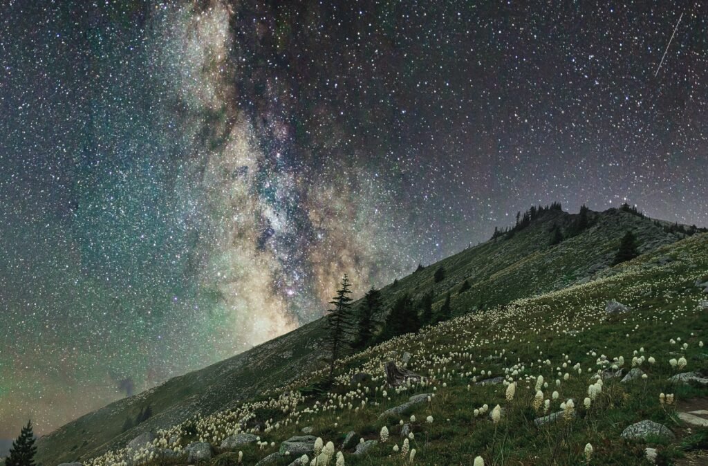
Seattle Times highlights 7 hikes to take on some of Washington’s most iconic islands
Washington’s islands are a unique and distinctive feature of the Puget Sound and Salish Sea landscape, offering miles…
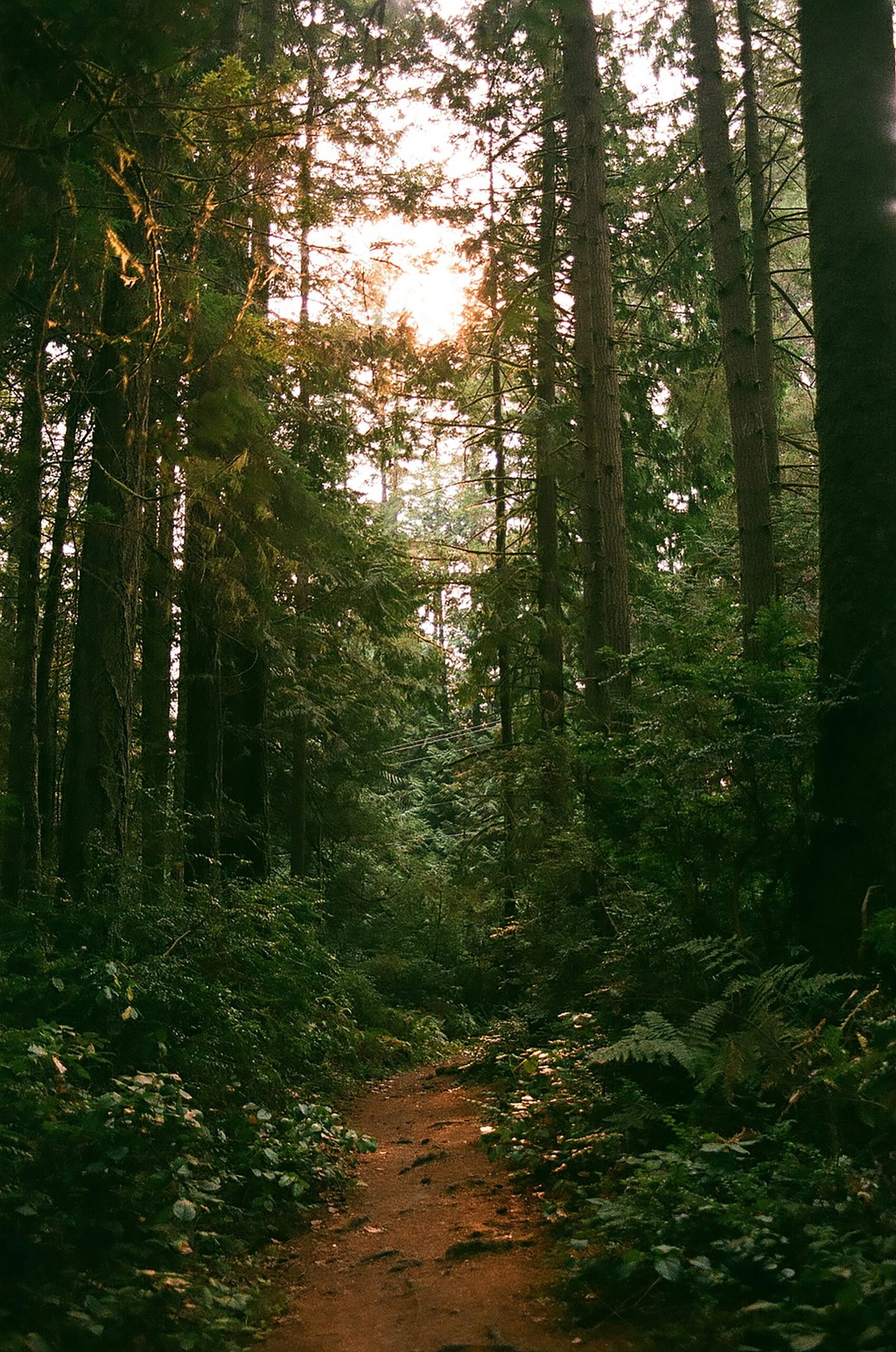
Washington’s islands are a unique and distinctive feature of the Puget Sound and Salish Sea landscape, offering miles of forested shorelines, rocky beaches, and open bluffs with views of mountains and surrounding waterways.
Many island routes also offer relatively short hikes and modest elevation gains with coastal scenery, wildlife viewing, and access to beaches.
The Seattle Times recently highlighted seven hikes on Washington’s islands, including trails on San Juan, Orcas, Lopez, Whidbey, Vashon, Bainbridge and Camano islands.
The routes range from easy coastal walks to a more strenuous climb overlooking the San Juan Islands.
Here’s a look at the seven Washington island hikes named by The Seattle Times.
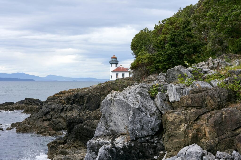
San Juan Island: Mount Finlayson
Mount Finlayson takes hikers through open grasslands, wildflower meadows and forest on the southern end of San Juan Island.
The trail begins with a climb through native grassland before reaching switchbacks and open views of the Olympic Mountains and Strait of Juan de Fuca. Along the way, hikers may spot deer, foxes, eagles, butterflies and other wildlife.
On clear days, views extend toward Cattle Point Lighthouse, Lopez Island and Mount Baker. The second half of the loop offers a change of scenery as the trail descends into a Douglas-fir forest filled with ferns and, during spring and early summer, wild roses and honeysuckle.
Trail length: 3.6 miles, roundtrip
Elevation gain: 408 feet
Permit or pass required: No
Whidbey Island: Ebey’s Landing
Ebey’s Landing takes hikers across open prairie and along coastal bluffs overlooking Puget Sound on Whidbey Island.
Hikers can start near the beach or from Prairie Overlook, where the route passes farmland and the historic Jacob Ebey house and blockhouse on the way toward the coast. Views from the prairie stretch toward Mount Baker and the Cascades to the east and the Olympic Mountains across Puget Sound to the west.
Once on the bluff, the trail passes seasonal wildflowers and windswept trees while overlooking the beach and a lagoon below. The route eventually descends through a series of switchbacks to the shoreline, where hikers can follow the beach before climbing back toward the prairie.
Trail length: 5.6 miles, roundtrip
Elevation gain: 260 feet
Permit or pass required: Discover Pass
Orcas Island: Turtlehead Summit
Turtlehead Summit takes hikers into the Turtleback Mountain Preserve for expansive views across the San Juan Islands and Canada’s Gulf Islands.
The hike begins on the North Trail, following an old logging road uphill through the preserve. Hikers can make a short detour to North Valley Overlook for views toward Mount Constitution before continuing past a wetland area and climbing toward Waldron Overlook, which looks across President Channel to Waldron Island.
The route eventually leaves the old road and follows a narrower trail that winds around moss-covered boulders and trees on the way to Turtlehead Summit. From the open summit, views stretch across neighboring islands toward Vancouver Island and the Olympic Mountains, with Mount Rainier visible in the distance on clear days.
Hikers can also watch for turkey vultures, swallows and golden eagles along the route.
Trail length: 5.7 miles, roundtrip
Elevation gain: 1,295 feet
Permit or pass required: None
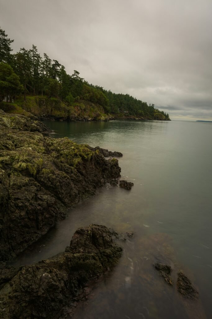
Lopez Island: Iceberg Point
Iceberg Point takes hikers along the southern end of Lopez Island, where rocky cliffs and open coastal areas overlook the surrounding waters and Olympic Peninsula.
The 3-mile loop begins at Agate Beach County Park, with hikers following a gravel road past several homes before reaching the route to Iceberg Point. Along the trail, twisted trees, rocky outcrops and grassy areas add variety despite the hike’s minimal elevation gain.
At the point, hikers can look across the water toward the Olympic Mountains and explore the rocky shoreline, where a warning light for passing ships stands along the cliffs. Wildflowers are common in early summer, and orcas occasionally pass through the waters offshore.
Trail length: 3 miles, roundtrip
Elevation gain: 50 feet
Permit or pass required: None
Maury Island: Maury Island Marine Park
Maury Island is a peninsula of Vashon Island, and Maury Island Marine Park takes hikers from the forested hills of Maury Island down to more than a mile of natural shoreline along Puget Sound.
From the parking area, the route follows a gravel road downhill for about three-quarters of a mile before reaching the beach. Along the way, visitors pass stands of Pacific madrone, while the shoreline opens to views across the East Passage toward Mount Rainier and the Cascade Mountains.
The park, once the site of a gravel mine, also protects a salt marsh, eelgrass beds and important habitat for wildlife. Bald eagles, great blue herons and kingfishers are among the birds found here, while the surrounding waters support Chinook salmon, orcas and other marine species.
Trail length: 3 miles, roundtrip
Elevation gain: 500 feet
Permit or pass required: None
Bainbridge Island: Gazzam Lake Nature Preserve
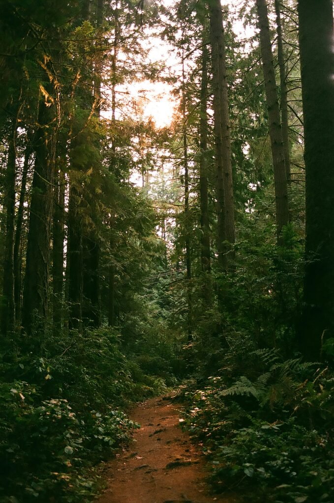
Gazzam Lake Nature Preserve takes hikers through a quiet stretch of second-growth forest before ending with a steep descent to a small rocky beach on Bainbridge Island.
The trail follows an old roadbed through mossy forest filled with redcedar and salal. Near Gazzam Lake, hikers can take a short access trail for a closer look at the water, where waterfowl and other birds are often heard and seen.
The character of the hike changes near the end, when the trail begins dropping toward the shoreline. A series of switchbacks and a final staircase lead to the beach, where hikers can stop along the water before making the climb back through the preserve.
Trail Length: 6.8 miles, roundtrip
Elevation gain: 500 feet
Permit or pass required: None
Camano Island: Barnum Point
Barnum Point offers several trails that hikers can combine for a short outing through forests, along coastal bluffs and down to the shoreline on Camano Island.
The Beach Trail starts through the forest before dropping about 120 feet to a mostly rocky beach lined with driftwood. During low tide, hikers can extend the trip with a walk along roughly a mile of shoreline, where bald eagles may be seen soaring overhead or perched in trees above the bluff.
Back above the water, the Bluff Trail passes through forest before reaching a viewing platform overlooking Port Susan Bay. On clear days, views extend toward the Cascades, including Mount Baker, Glacier Peak and Mount Rainier.
Trail length: 2.75 miles, roundtrip
Elevation gain: 300 feet
Permit or pass required: None
What to know before heading out
Although most of these routes are shorter than a typical mountain hike, hikers should still prepare for changing Northwest conditions.
It’s important to remember to carry the 10 essentials, even on island trails that stay relatively close to roads and communities.
Ferry schedules, parking, tides, trail conditions and pass requirements can also affect a trip, so travelers should check current information before leaving.