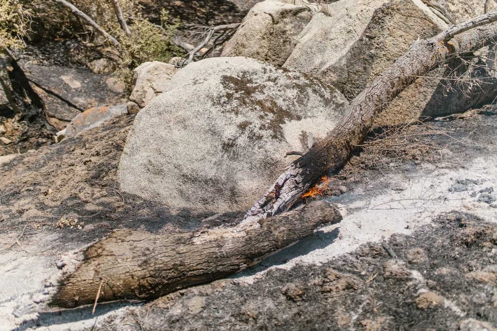
Grasshopper fire grows to more than 72,000 acres as Highway 35 closes near Mount Hood
The Grasshopper Fire burning east of Mount Hood has grown to more than 72,000 acres, prompting additional evacuation…

The Grasshopper Fire burning east of Mount Hood has grown to more than 72,000 acres, prompting additional evacuation orders and the closure of Highway 35 between Government Camp and Hood River.
The latest developments come as firefighters continue working to contain the large wildfire in the Mt. Hood National Forest. As of Tuesday morning, Aug. 11, the fire was estimated at approximately 72,476 acres and remained 23% contained, according to fire officials.
The new acreage marks substantial growth from Monday evening, when the fire was estimated at 63,659 acres.
Highway 35 closed between Government Camp and Hood River
Travelers heading through the Mount Hood area should expect a significant highway closure.
The Oregon Department of Transportation closed Highway 35 between its junction with Highway 26, about two miles east of Government Camp, and Hood River.
The closure is allowing crews to remove hazardous trees and gives firefighters room to work along the highway. ODOT said the road will remain closed until conditions are safe enough for it to reopen.
The closure affects one of the primary routes around the east side of Mount Hood and between the Government Camp area and the Columbia River Gorge.
Drivers traveling through the region should check current road conditions before leaving and be prepared to use alternate routes.

New Level 3 evacuation orders issued in Wasco County
Evacuation orders also expanded Monday night as the fire continued to affect communities east of Mount Hood.
The Wasco County Sheriff’s Office issued Level 3 “Go Now” evacuation notices shortly after 11:30 p.m. Monday for Sportsmans Paradise and several surrounding areas.
Level 3 evacuation areas include:
- Sportsmans Paradise
- Shell Rock Road
- South Valley Road
- Wolf Run Road
- Ward Mill Road
- Rail Hollow
- Hix Road
- Friends
- J Hix
- Dufur Gap Road
A Level 3 notice means residents should leave immediately.
The City of Dufur and several nearby areas are under Level 2 “Get Set” evacuation notices. Those areas include Fargher Road, Tygh Ridge Road, Hulse Road and Pine Hollow Road.
Residents under Level 2 notices should be prepared to leave quickly if conditions change.
Grasshopper Fire continues to affect Mount Hood travel
The Grasshopper Fire has become a major concern for residents, visitors and travelers around Mount Hood as it continues burning through the eastern side of the national forest.
The Highway 35 closure is particularly important for anyone planning to travel between Government Camp, Mount Hood’s east side and Hood River.
Wildfire conditions and evacuation boundaries can change quickly. Travelers heading into the Mount Hood area should check current highway closures, forest restrictions and county evacuation notices before leaving.
This is a developing wildfire. Pacific Northwest Crossing will continue to follow major changes affecting travel, recreation and communities around Mount Hood.