Old Farmer’s Almanac releases 2026-27 winter snow predictions for the Pacific Northwest
After an unusually dry October in parts of the Pacific Northwest, the Old Farmer’s Almanac is predicting a…
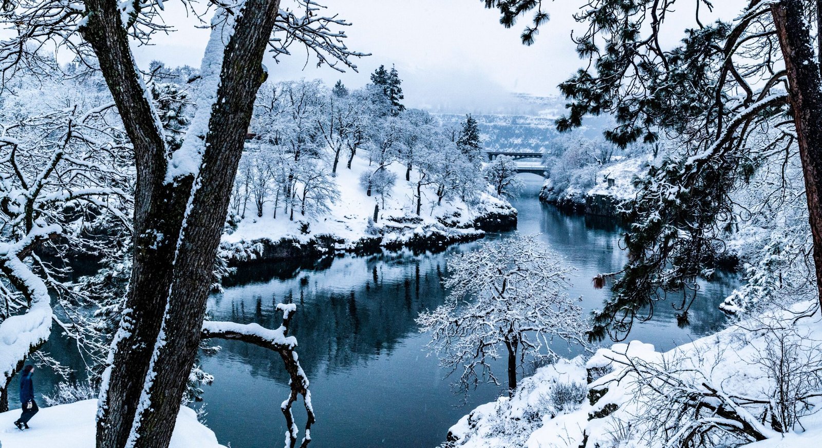
After an unusually dry October in parts of the Pacific Northwest, the Old Farmer’s Almanac is predicting a wetter winter ahead, with more snow than usual.
The publication released its 2026–27 winter forecast for the Pacific Northwest, calling for above-normal snowfall across the region, even as temperatures are expected to run warmer than average.
According to the almanac, the region’s snowiest stretches could come in late December, mid-January, and mid-February, when the season’s heaviest snowfall is expected.
Here’s what the Old Farmer’s Almanac is predicting for the Pacific Northwest this winter.
What does the Old Farmer’s Almanac predict for the Pacific Northwest?
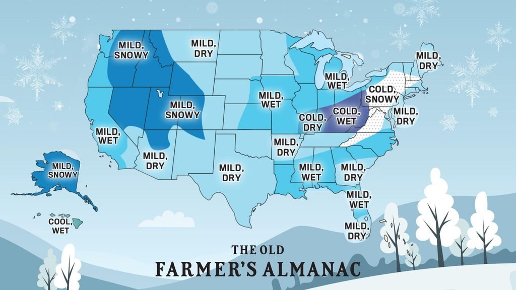
According to the Old Farmer’s Almanac’s winter forecast, the Pacific Northwest is expected to have above-normal temperatures, precipitation, and snowfall during winter 2026–27.
A warmer seasonal average can still include cold stretches. The publication identifies late December, early January, and early February as the region’s coldest periods.
What does the forecast predict for Central and Eastern Oregon and Washington?
For inland areas covered by the almanac’s Intermountain region, the outlook also calls for a warmer and wetter winter, with above-normal snowfall.
The timing differs slightly from the Pacific Northwest forecast. The Intermountain region’s snowiest periods are expected in late November, late December, and early February.
Its coldest stretches are predicted for mid- to late December, early and late January, and early February.
When could the Pacific Northwest see the most snow?
The Almanac lists three periods as the region’s snowiest:
- Late December 2026
- Mid-January 2027
- Mid-February 2027
Its public outlook does not provide snowfall totals for individual Oregon and Washington cities or mountain destinations.
What are other forecasters predicting for Cascade snow?
The Old Farmer’s Almanac’s snowier outlook isn’t shared by every forecaster. Other predictions suggest snowfall could vary considerably between Washington’s Cascades and the mountains farther south in Oregon.
According to OpenSnow’s 2026–27 winter forecast, below-normal snowfall is favored in Washington.
The outlook shows no clear above- or below-normal snowfall signal for Mount Hood and Mount Bachelor, while favoring above-normal snowfall at southern Oregon destinations, including Willamette Pass and Mount Ashland.
AccuWeather’s winter outlook calls for near- to below-average snowfall across the Pacific Northwest overall, with an active start to winter followed by drier conditions later in the season.
Meanwhile, NOAA’s winter outlook favors warmer-than-average temperatures across the Pacific Northwest. The agency does not predict seasonal snowfall totals.
According to the U.S. Geological Survey, El Niño winters often bring less snow to the region. For the Cascades, much will depend on whether individual storms are cold enough for snow instead of rain.
That leaves a mixed outlook for those planning winter trips. While some forecasts favor more snow in southern Oregon, Washington and parts of the Oregon Cascades face a less certain season.